
Green & Nolin Rivers Blueway National Water Trail Overview
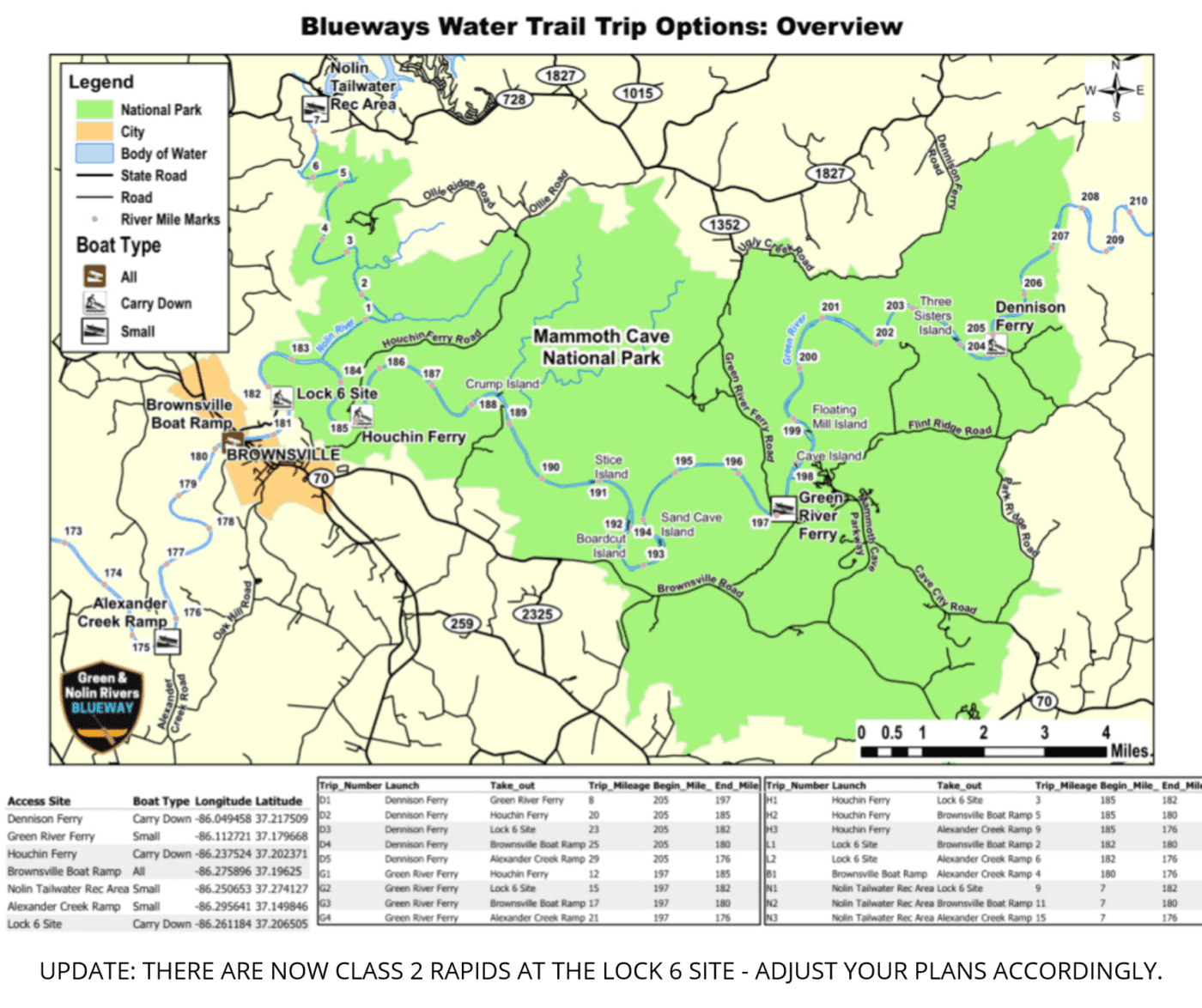
UPDATE: THERE ARE NOW CLASS 2 RAPIDS AT THE LOCK 6 SITE – ADJUST YOUR PLANS ACCORDINGLY.
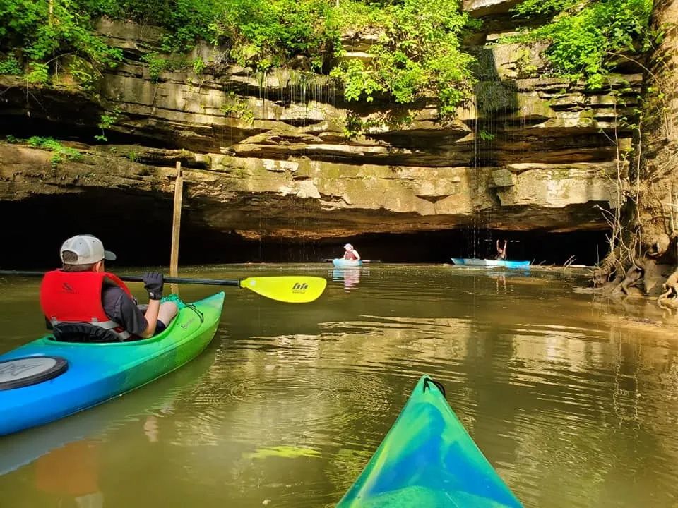
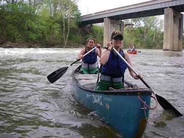
About the Blueway
The Green & Nolin Rivers Blueway, a National Water Trail, runs inside Mammoth Cave National Park, Edmonson County & the Nolin River Lake Tailwater of the US Army Corp of Engineers. The Blueway has 36 miles of navigable waterway & 7 public access sites. UPDATE: THERE ARE NOW CLASS 2 RAPIDS AT THE LOCK 6 SITE
Planning Your River Trip
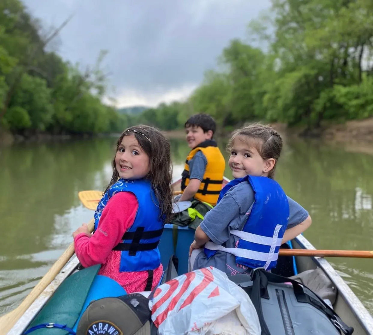
- Always wear a life jacket. Personal Flotation Devices (PFDs/life jacket) are required to be worn while on rivers inside of Mammoth Cave National Park at all times. It is important that your PFD is properly fitted, and US Coast Guard approved.
- Let someone know your plan. You should always leave a float plan with family/friends and inform them of your departure and return. Do not forget to inform them when you return so an unnecessary search is not started.
- Leave alcohol at home. Alcohol is prohibited on the rivers inside the park.
- Know the water level and weather forecast. River use is prohibited when river levels are at or exceed 20 feet on the park’s water level gauges.
- More information on boating and watersports throughout the national park system is available for you to review, including safety and trip planning tips.
Trips from Dennison Ferry
UPDATE: THERE ARE NOW CLASS 2 RAPIDS AT THE LOCK 6 SITE – ADJUST YOUR PLANS ACCORDINGLY.
Trips from Green River Ferry
UPDATE: THERE ARE NOW CLASS 2 RAPIDS AT THE LOCK 6 SITE – ADJUST YOUR PLANS ACCORDINGLY.
Trips from Lock 6 Site
Trip from the Brownsville Boat Ramp
Please learn more about Water Safety from the American Canoe Association
The American Canoe Association offers several educational resources on water safety, including: pdfs, apps, videos and online courses.